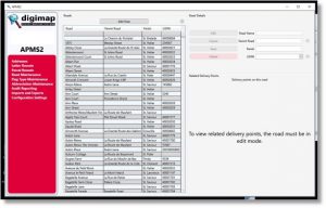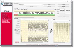
Post Office Address Point Management System (APMS)With Digimap’s expertise in postal solutions, we have developed the Address Point Management System (APMS), an integrated database solution tailored for main post offices and courier services. This system addresses key postal challenges by creating a centralized and efficient platform for managing delivery routes and postal data.
Key Benefits of APMS:
- Integrated Corporate Solution: A single, unified platform that consolidates all postal data.
- Single Source of Truth: Eliminates the need for multiple databases, ensuring data consistency.
- System Independence: Updates can be made to individual systems without disruption.
- Route Optimization: Reduces reliance on experienced delivery officers by providing clear, mapped delivery routes.
- Efficient Frame Labeling: Generates postal sorting frame labels quickly and accurately.
- Hazard Identification: Highlights potential hazards on delivery routes for safer operations.
- Delivery Optimization: Provides tools for creating efficient delivery plans.
- Future-Proof: A scalable system that evolves with technological advancements.
Advanced Capabilities
The APMS integrates Esri ArcGIS spatial systems with a relational address database. This allows post offices to store all addresses in a centralized location, manage postal rounds, and automatically produce labels for postal sorting frames (RM2000’s). The system applies color coding and specialized algorithms to ensure maximum efficiency in labeling.
Additionally, APMS offers a suite of powerful modules for various operational needs:
APMS Features:
- OCR Export: Exports rounds in walk order via CSV for OCR processing.
- CRM Export: Provides address details in CSV format.
- Postcode Finder: Exports address details based on postcode searches.
- Parcel Routes: Enables round sorting and creation, address viewing, and identification of delivery points.
- Secure Drop: Manages safety hazards, access codes, and GPS coordinates for secure parcel drop locations. Includes an audit trail.
- Batch Sortplan Setup: Facilitates the creation of batch plans for LSM sorting layouts.
- Delivery Management: Supports address search, creation, and sorting. Also handles frame labeling, audit trails, name changes, round management, frame optimization, resequencing deliveries, and PO Box management.
System Integration:
- Mapping: Uses Esri ArcGIS desktop to plot delivery routes and points.
- Routesmart Integration: Provides import/export functionality to integrate delivery data with mapping systems using X, Y coordinates.
For further details, contact Digimap.


